A Motorcycle Trip through Southwestern New Mexico
and a little corner of Arizona
(July, 2021)
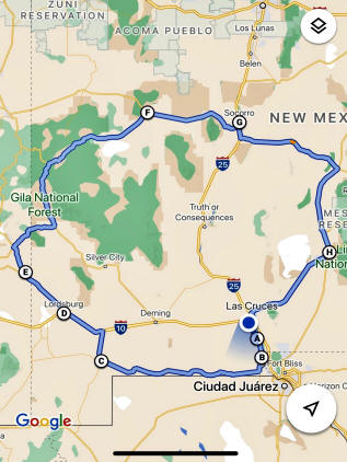
Below is a map of my trip. I started in Mesilla, NM, rode south to get on NM Rt. 9, which runs along the Mexican border. I then rode north to Duncan, AZ where I spent my first night. From Dunkin, I rode north to Datil, NM, then East to Socorro, where I stayed the second night. On the third day, I rode southeast to Carrizozo and Alamogordo, and then home to Mesilla. The total length of my ride was 670 miles with an elevation range of about 4,000'.
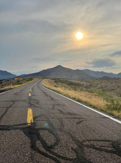
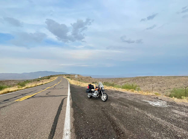
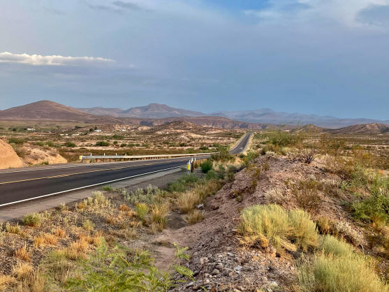
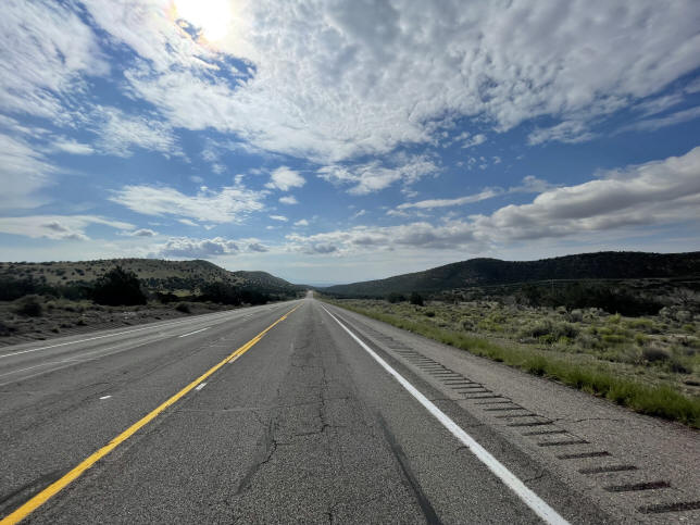
I began by riding south on NM Rt. 28 through the towns of La Mesa and La Union in order to take Rt. 9 across southern New Mexico.
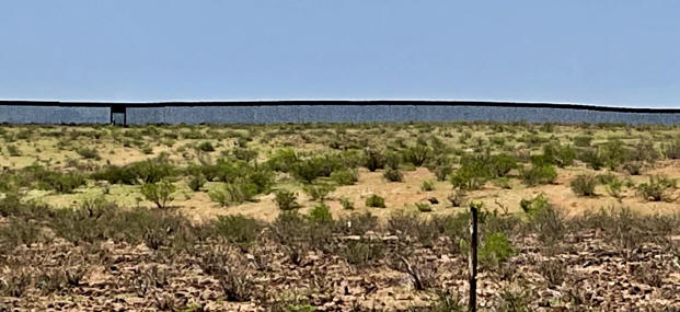
Starting out on Rt. 9
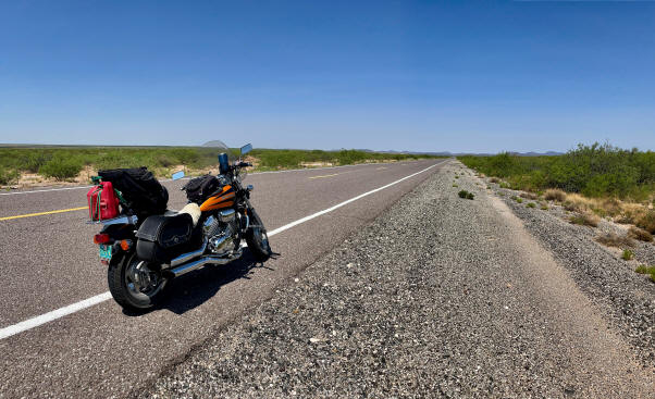
As the above map shows, Rt. 9 follows the Mexican border, making the border wall quite visible.
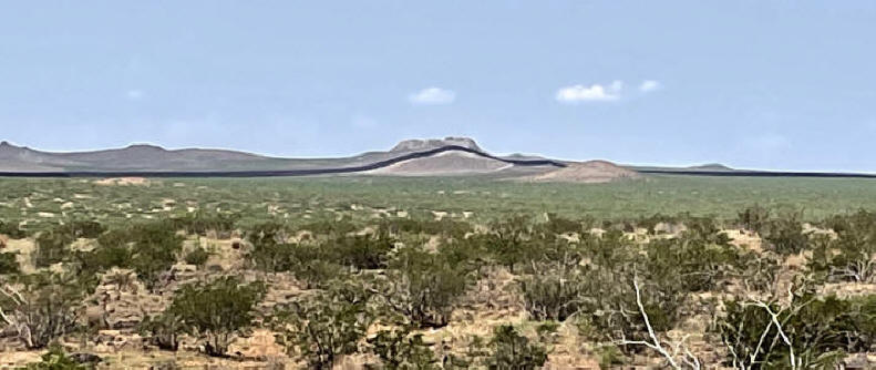
In fact, for much of the ride on Rt. 9, the border and the wall were less than a quarter of a mile from the road.
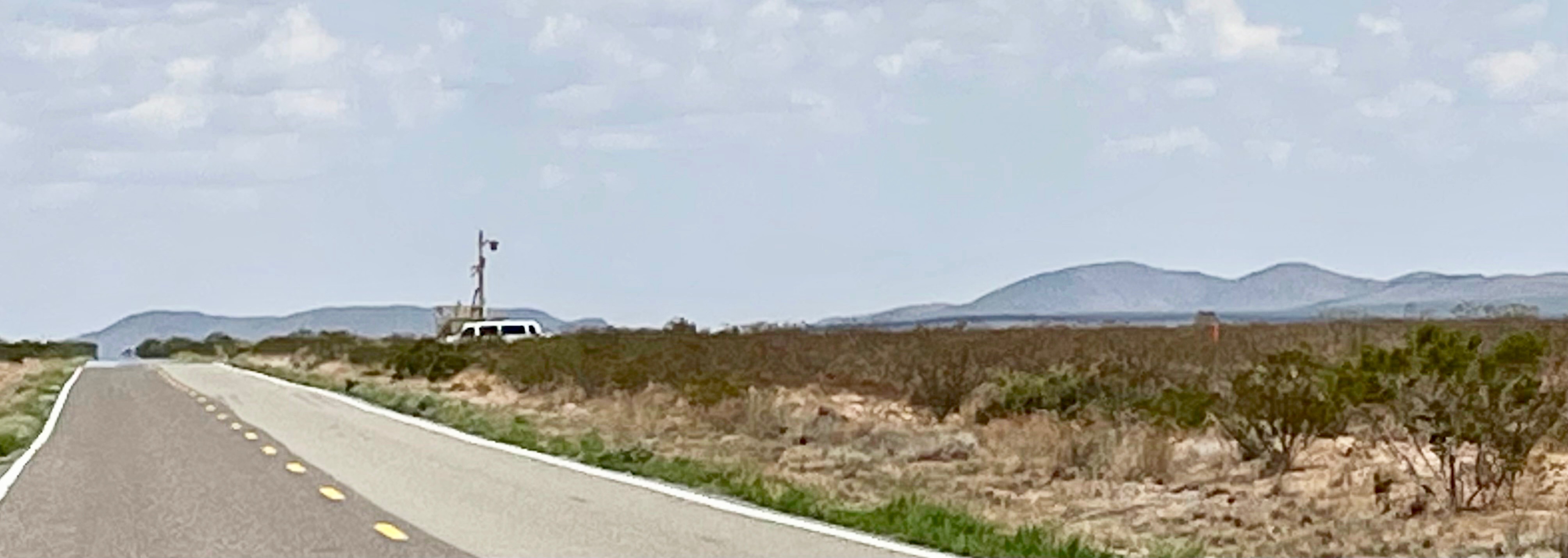
Border Control vehicles easily comprise the majority of vehicles one sees riding on Rt. 9. Another common sight is a Border Patrol vehicle parked next to a mobile electronic surveillance tower pointed towards Mexico.
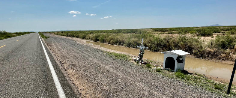
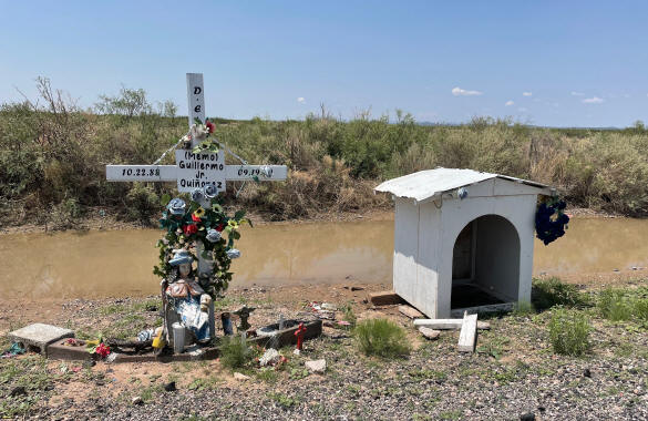
It did not take long to come across one of the many memorials one finds along the side of roads throughout the Southwest to mark the spot where individuals died in road accidents.
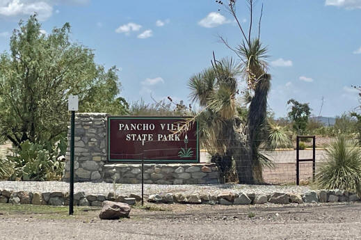
In a little over an hour, I came to the town of Columbus, NM, made famous by Pancho Villa's raid on the town in 1916. Villa's troops were defeated, and many of his soldiers were captured by the US Army. Villa himself, however, escaped and was never apprehended, despite Woodrow Wilson launching a Punitive Expedition, under the command of General John J. Pershing, deep into Mexico to capture him.
Columbus, New Mexico
New Mexico has since established a state park just outside of Columbus to commemorate Villa's raid and the Army's defense of the region.
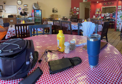
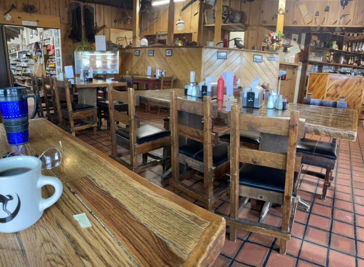
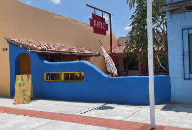
Lunchtime!
Columbus has several good places to eat; one of my favorites is the Patio Cafe.
|
|
|
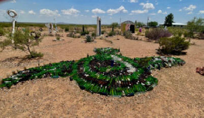
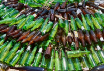
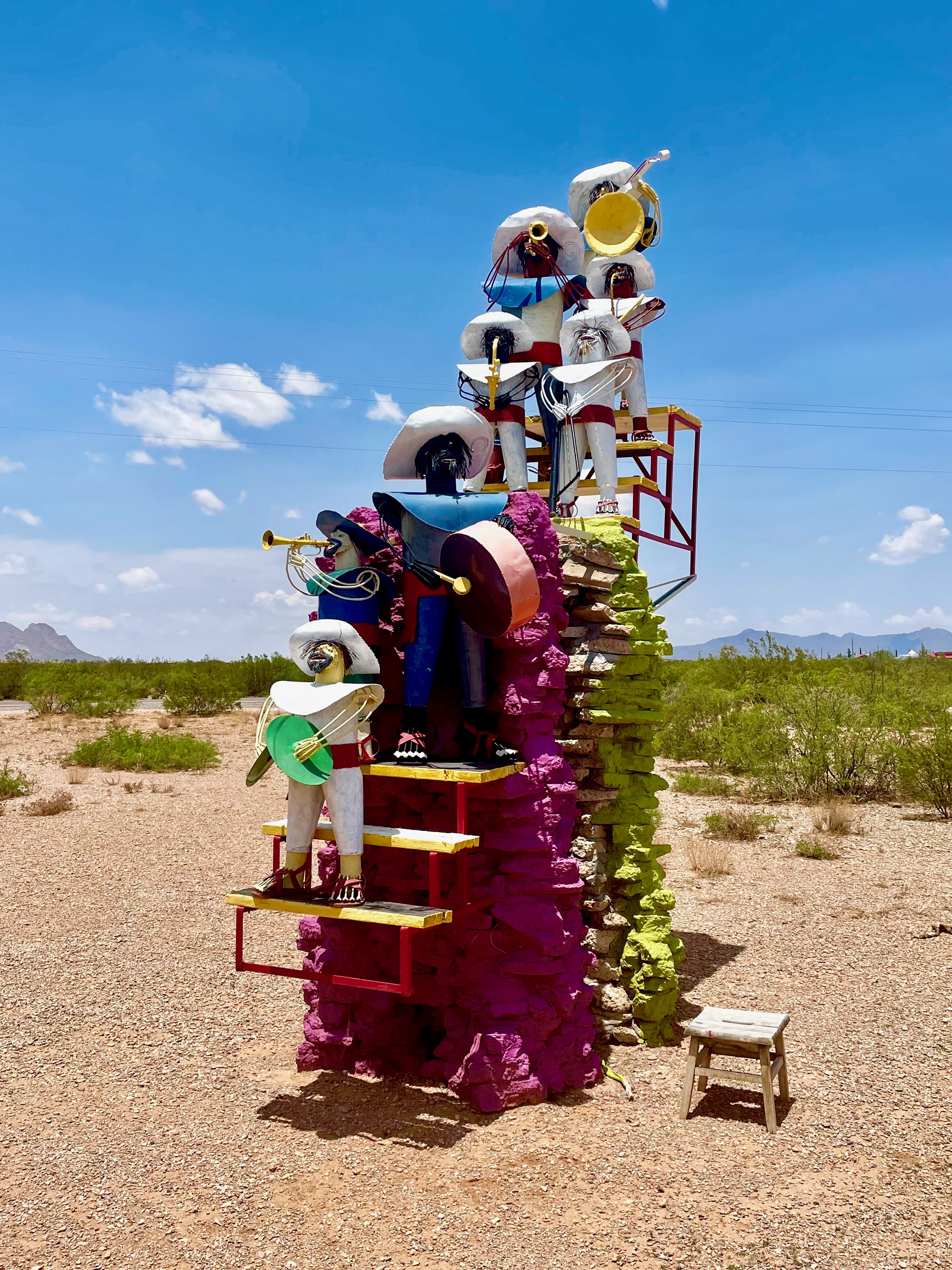
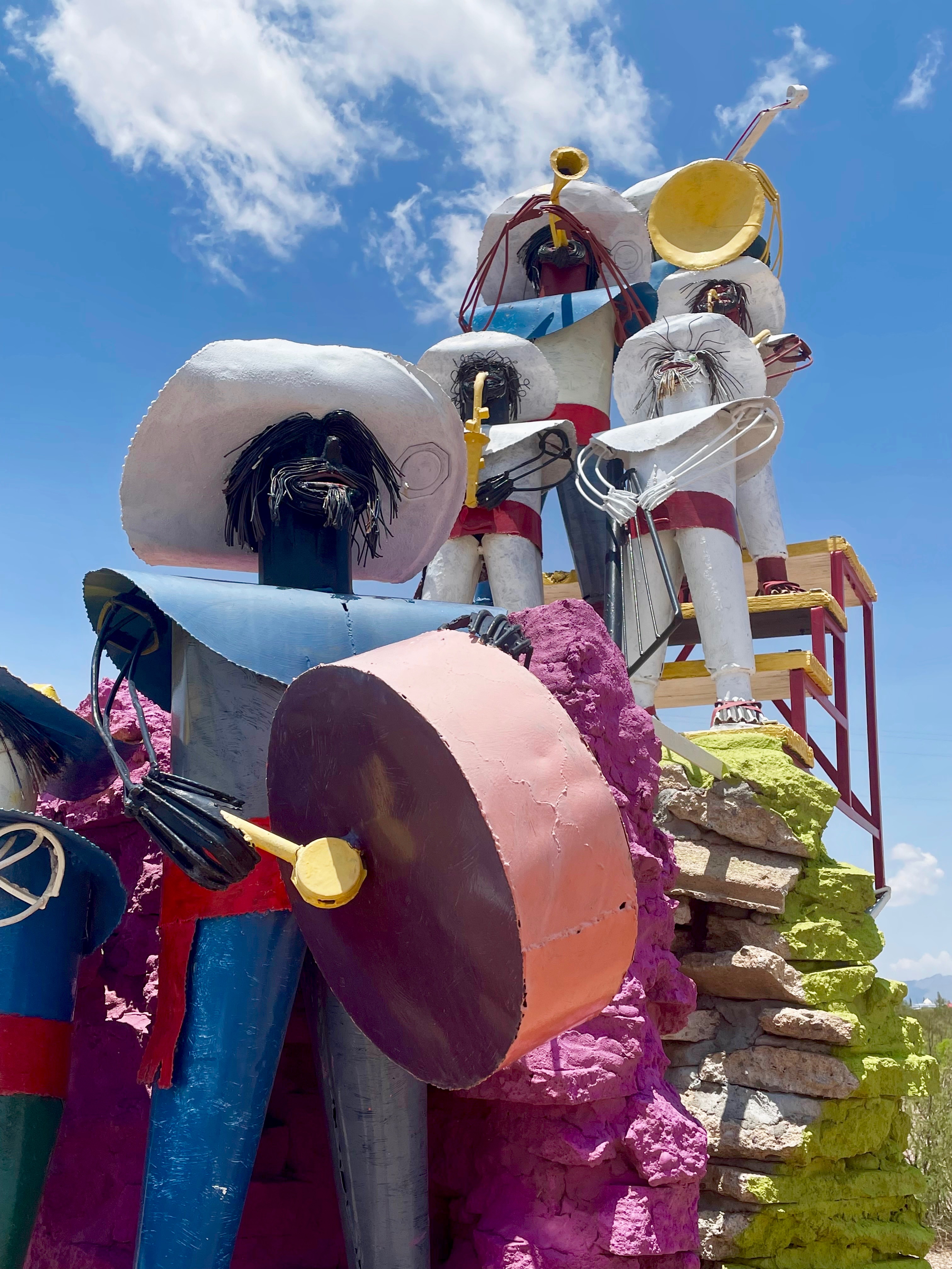
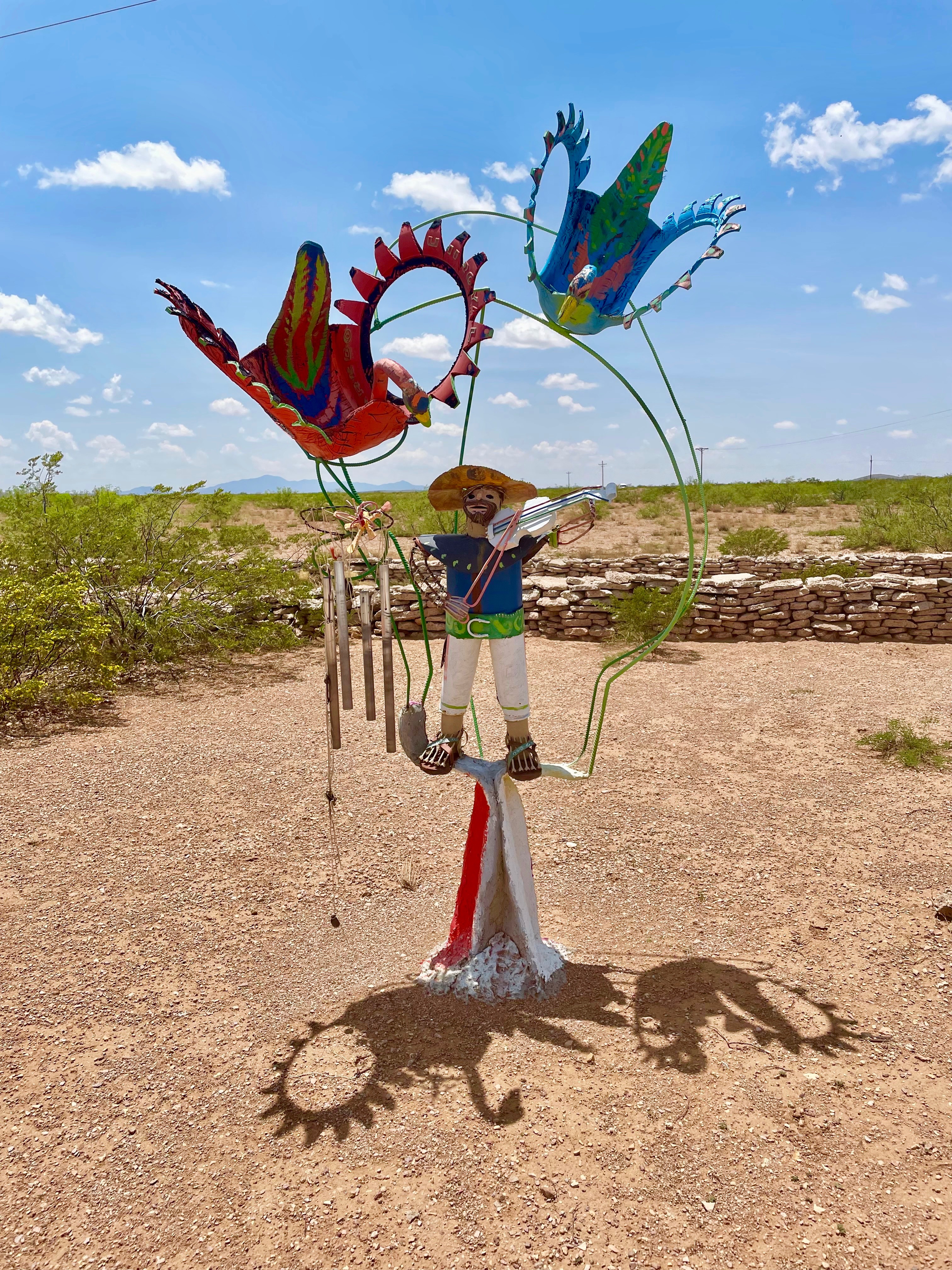
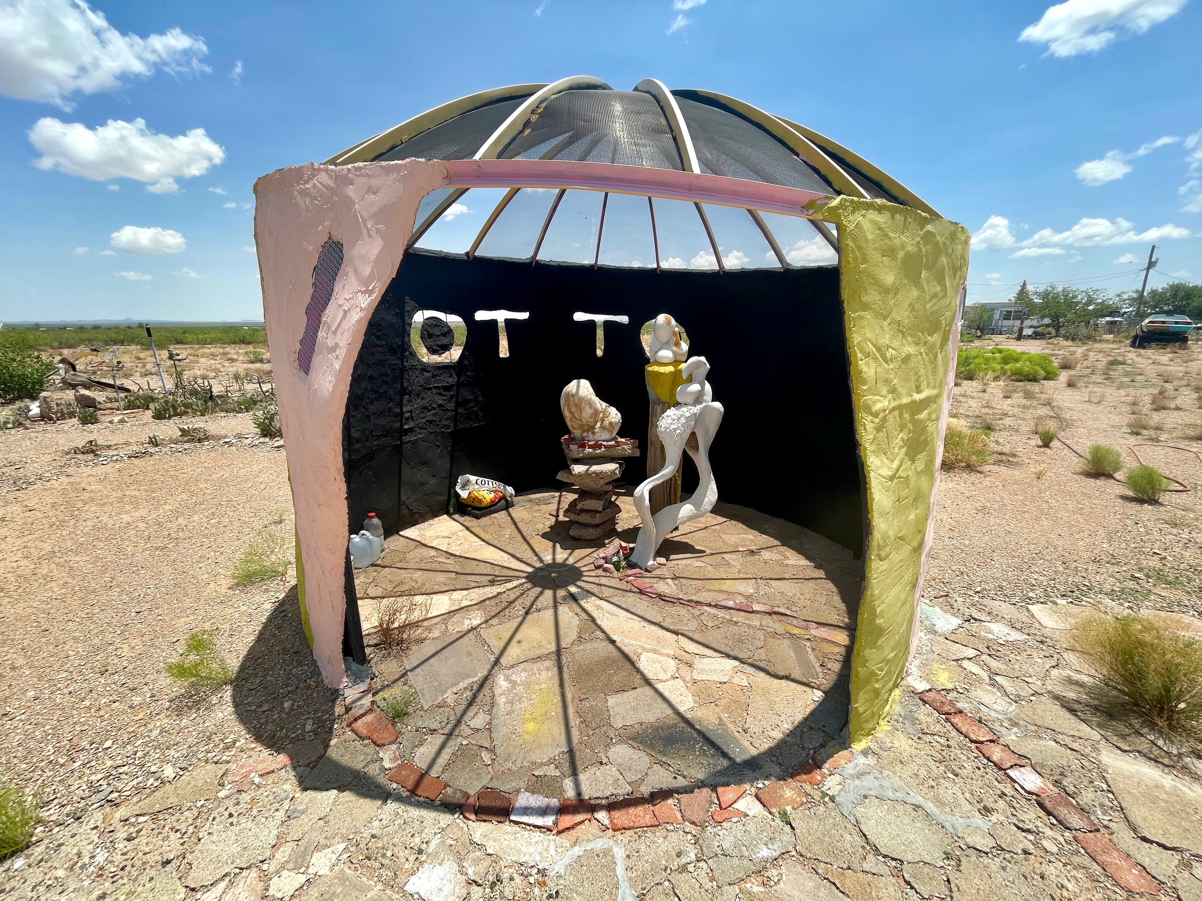
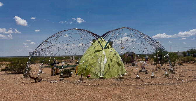
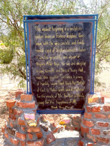
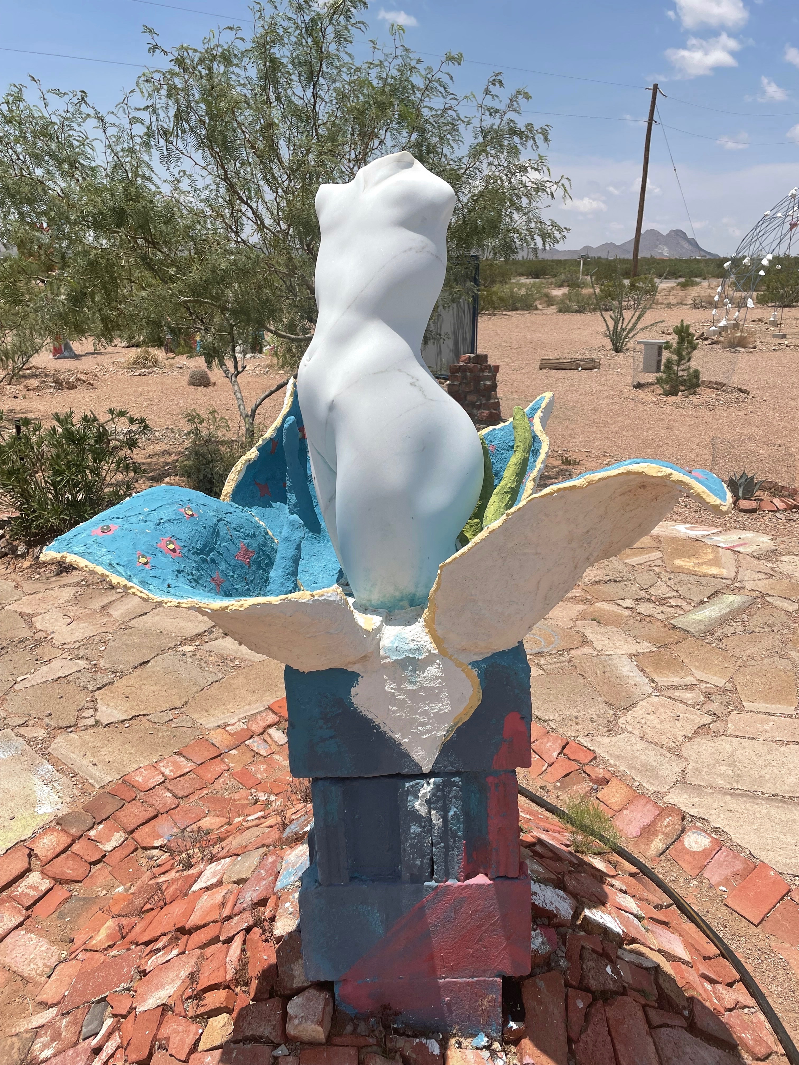
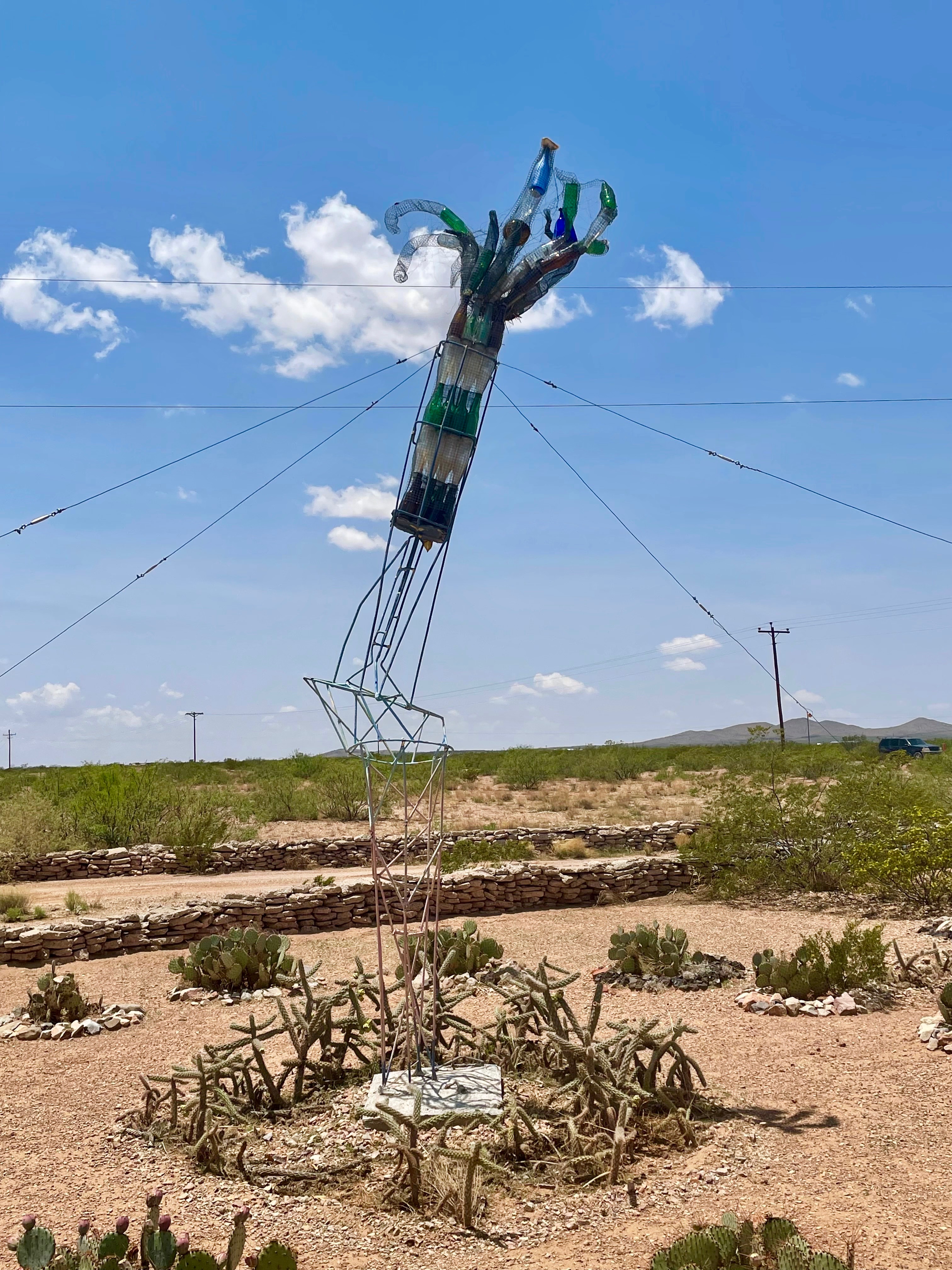
Just west of Columbus is a whimsical sculpture park, the kind of offbeat creative enterprise that makes New Mexico such an interesting place to live.
The Frontera Sculpture Oasis
|
|
|
|
|
|
|
|
|
The road west from Columbus . . .
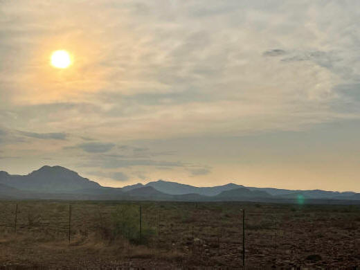
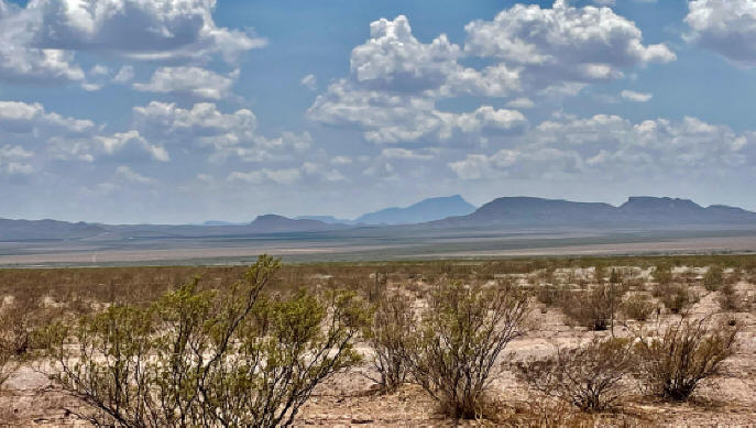
The scenery along the way (looking south into Mexico) . . .
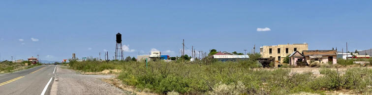
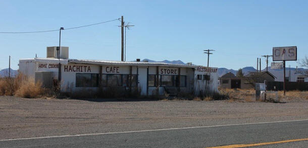
Hachita, NM
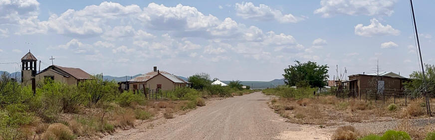
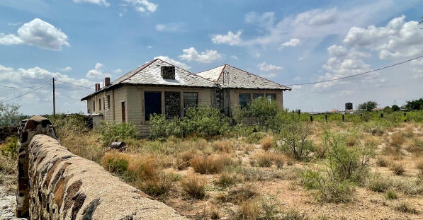
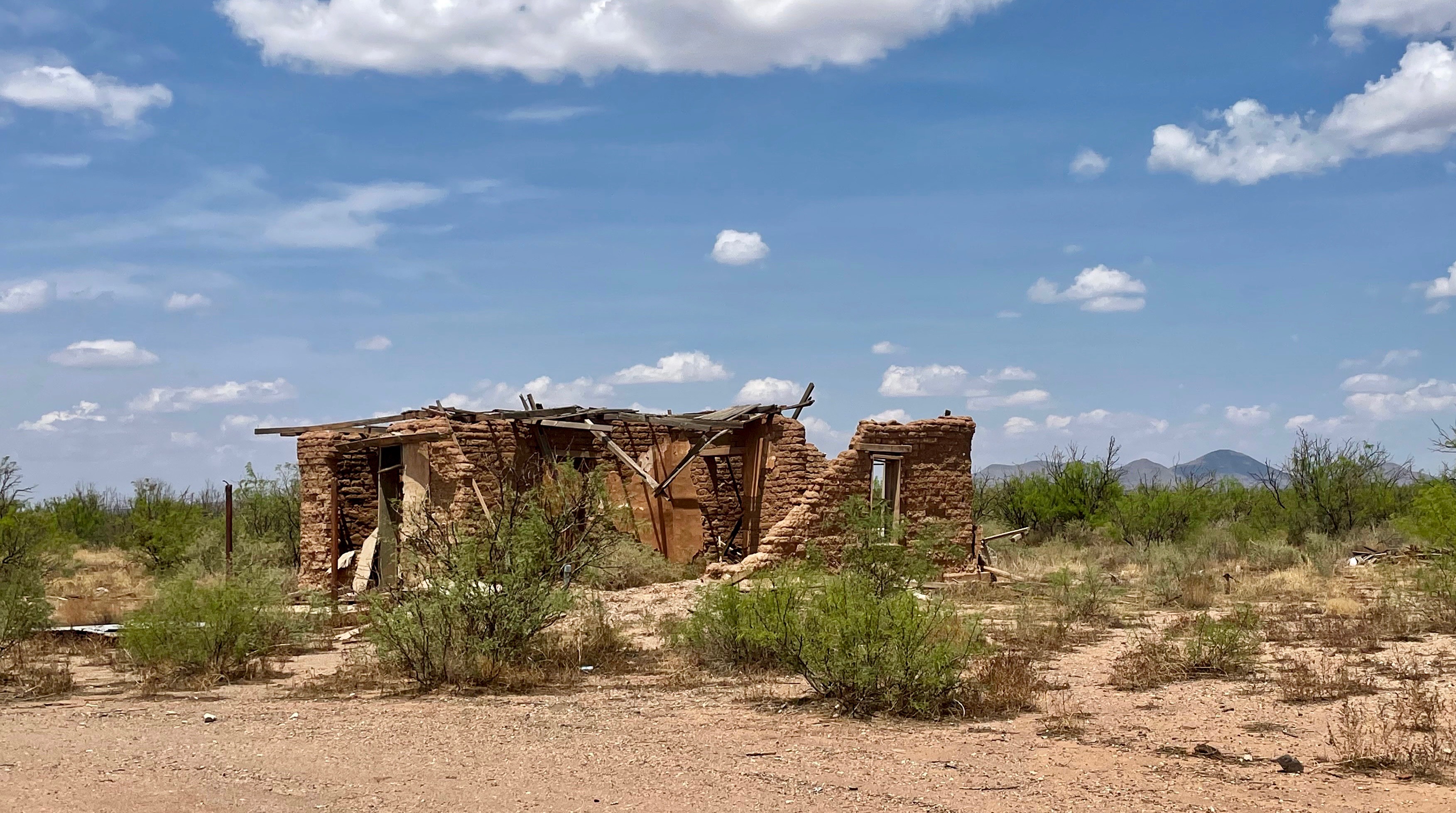
A Ghost Town in the making
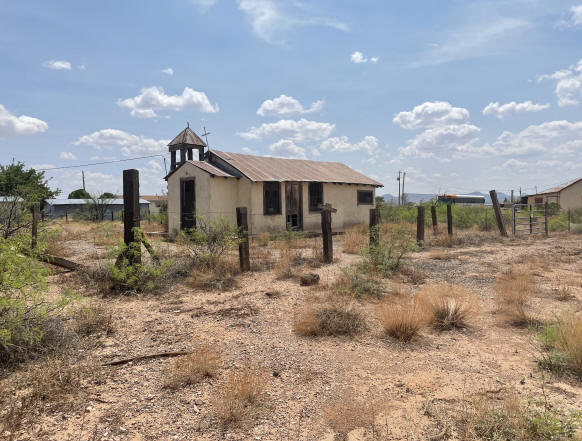
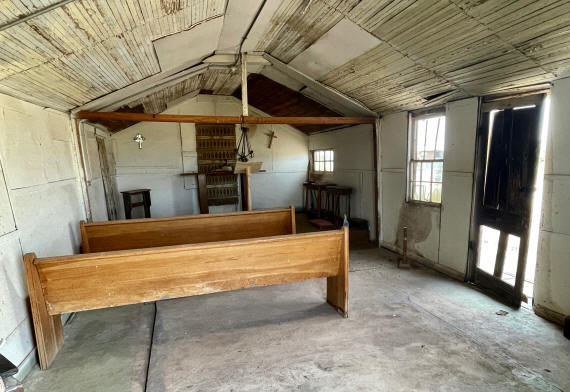
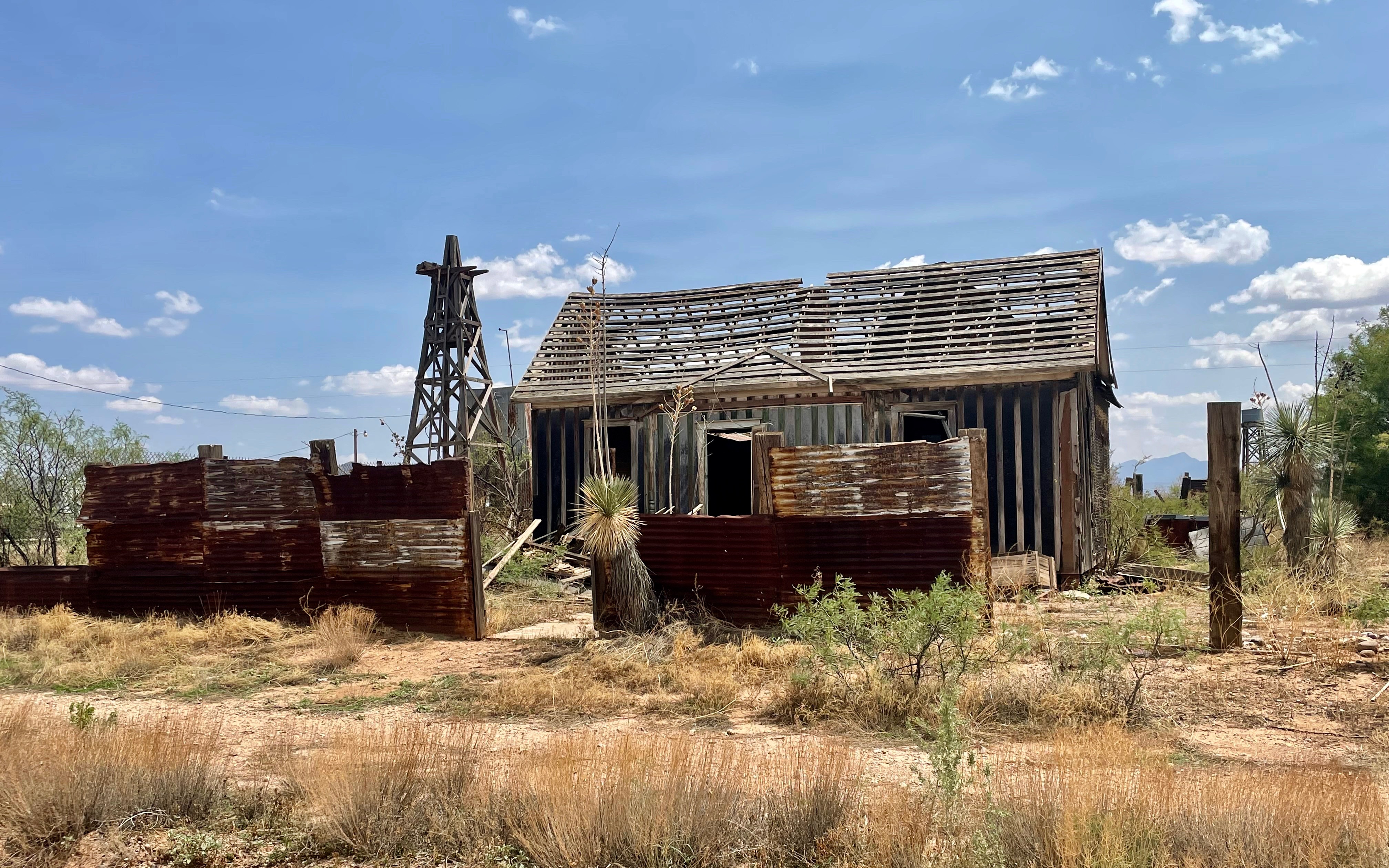
About 45 miles west of Columbus is Hachita, NM. Hachita had a population of around 750 in 1920. According to the US Census Bureau, however, the size of Hachita's population declined to only 38 residents in 2019. As a result, both its infrastructure and its community life have deteriorated. Its grocery store and gas station are gone, and its Catholic Church has been abandoned. Most of the houses are in a state of serious decay, with less than a half a dozen still occupied.
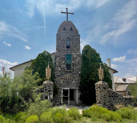
St. Catherine of Sienna Roman Catholic Church
|
|
|
|
|
|
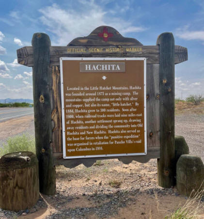
It is a bit ironic that Hachita is becoming a ghost town --indeed, some people already refer to it as such-- in as much as a Hachita Ghost Town already exists just 7 miles west of the current town. "Old Hachita", as it is known today, was a mining town, established in the 1870s. By the mid-1880s it had a population of around 300 with numerous businesses, including a post office, two general stores, a blacksmith shop, and three saloons. However, by 1890 its population had declined to 25, and its post office closed in 1898. When Phelps Dodge built a new railroad in 1902 to connect its Bisbee, Arizona mine with El Paso, the company established a water stop just seven miles from Hachita. A new town formed around the railroad stop that became known as New Hachita, with the original town, being abandoned. New Hachita, later renamed Hachita, is now experiencing Old Hachita's fate.
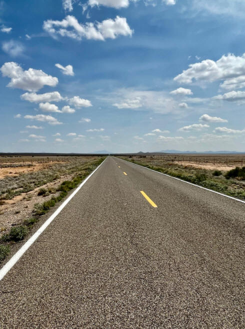
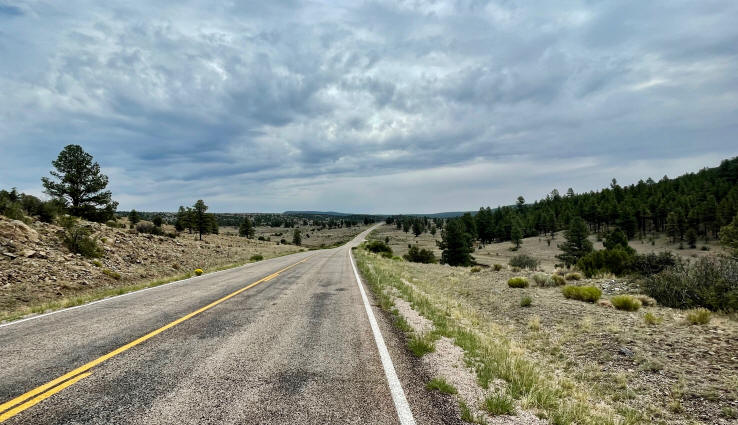
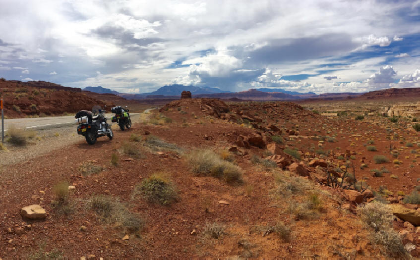
The road West of Hachita is wide open all the way to Lordsburg (c. 50 miles). I didn't encounter a single other vehicle the entire way. What a wonderful sense of freedom!
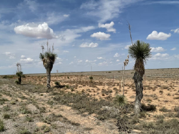
The one thing that does appear along this route are extensive stands of Yucca faxoniana (aka "Spanish Dagger"). This plant is native to the Chihuahuan Desert, which extends over much of northern Mexico, southern New Mexico and the Big Bend region of southwest Texas.
* * * * *
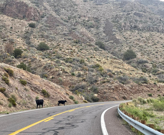
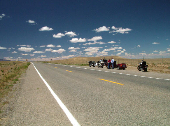
The second day's ride was even better than the first. I left Duncan early (around 7 am) in order to avoid a predicted rainstorm.
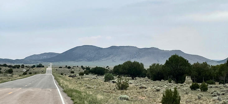
I started to climb to a higher elevation a few miles east of Duncan. The sun was still relatively low in the sky and the clouds gave it a somewhat hazy appearance.
|
|
|
In a few minutes, I reached a plateau with a beautiful view behind me.
Then, I started to climb again.
This time to an even higher elevation (c. 7,400') and a spectacular view of the road I had just traveled.
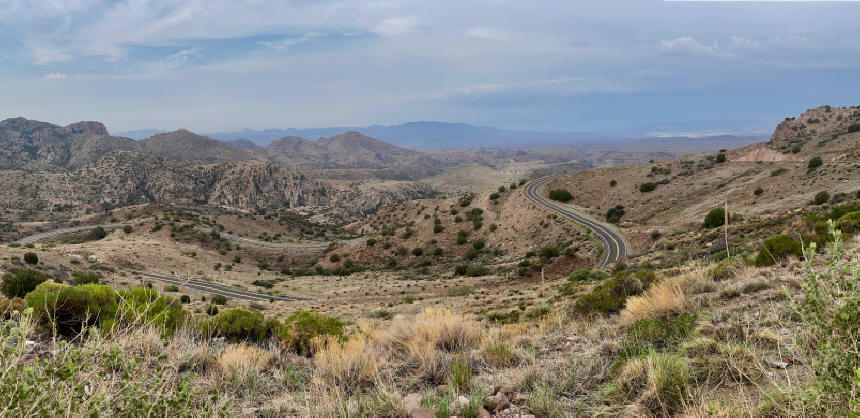
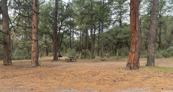
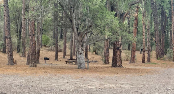
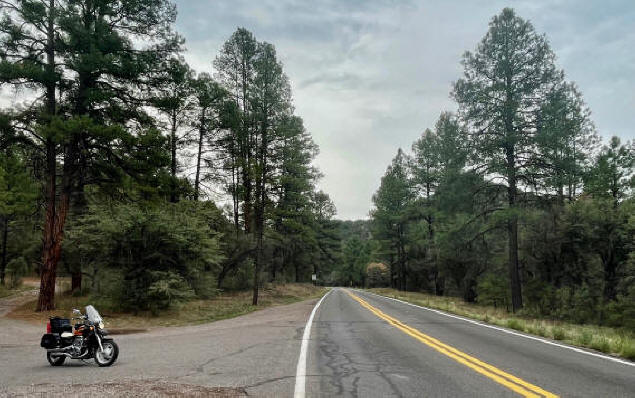
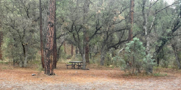
I was now in Ponderosa Pine country, with the fresh smell of pine and great places to camp in the Apache National Forest.
|
|
|
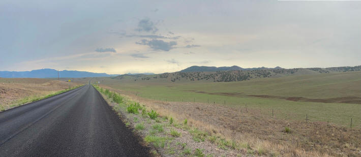
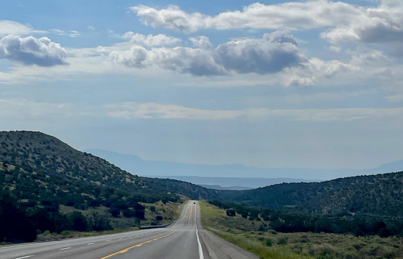
I then left the high country of eastern Arizona and rode into the open rolling hills of western New Mexico, with a different panoramic view around every turn --a perfect road for riding a motorcycle!
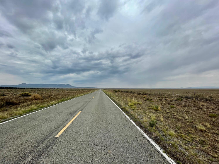
While the ride was wonderful, I had to be concerned about fuel. It is 174 miles from Duncan to Datil, NM, where I was confident I could get gas. However, my bike only has a 3.5-gallon tank, giving me a range of around 140 miles. Although Google indicates there are places to get gas along the way, that information is not always reliable. Those places may no longer be in business, be closed when I get there, or be open but out of gas. So, I always carry extra gas. I was, however, able to get gas at a usually reliable gas station in Glenwood, NM, 70 miles from Duncan and 104 miles from Datil.
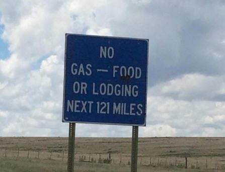
A sign encountered on a previous motorcycle trip.
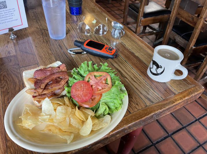
Lunchtime again!
According to the US Census Bureau, the population of Datil in 2019 was only 29 people. Fortunately, it has a small gas station with a great cafe. I had one of the best BLTs I've ever eaten!
|
|
|
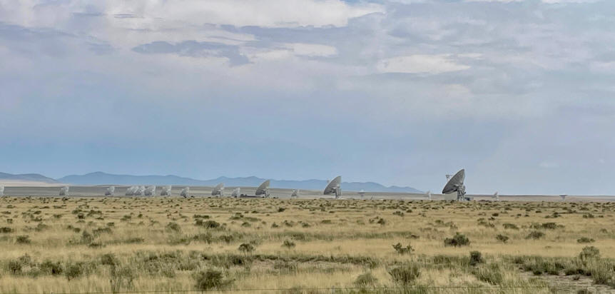
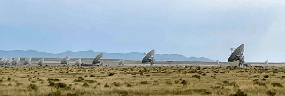
After a relaxing lunch break, I headed east out of Datil towards Socorro, my destination for the day. Socorro is about 60 miles from Datil. It appears there may be rain on the horizon.
One of the impressive sights along Rt. 60 between Datil and Socorro is the Very Large Array (VLA): The National Radio Astronomy Observatory. The VLA has 27 antenna dishes that are moved during the year along specially-designed Y-shaped tracks into different configurations with diameters ranging from .6 to 22 miles. According to the NROA, there are four basic antenna arrangements (configurations) whose scales vary from smallest to largest by the ratios 1 : 3.28 : 10.8 : 35.5. These configurations are denoted D, C, B, and A, respectively. When I passed the VLA, it was in Configuration C.
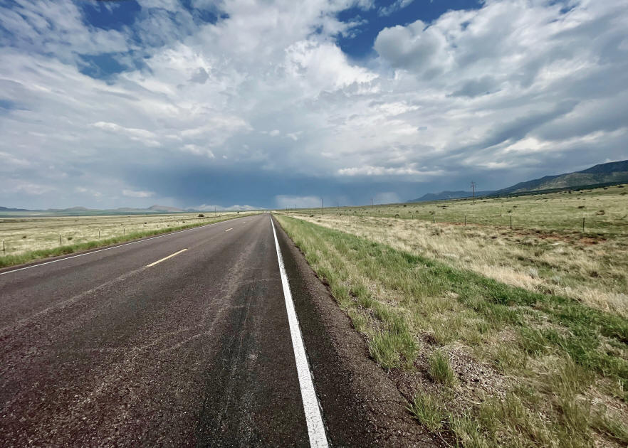
As I approached Socorro, I encountered the storm I noticed earlier. Here's where I stop, get off the bike and put on my rain gear. It looks as though I am going to have to ride through a pretty heavy downpour.
Fortunately, the road turned a bit, and I skirted the edge of the storm, receiving only a light sprinkling.
The next morning I was hoping to have a leisurely departure, taking time at a local restaurant for breakfast before getting underway. However, a storm moving in from the west changed my plans rather abruptly. I had to pack in a hurry and get on the road before I got soaked. I headed quickly south to San Antonio, NM, where I took Rt. 380 east towards Carrizozo.
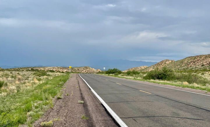
Looking back at the storm.
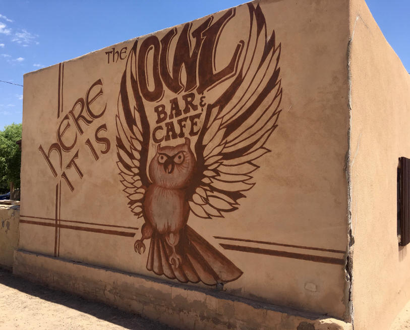
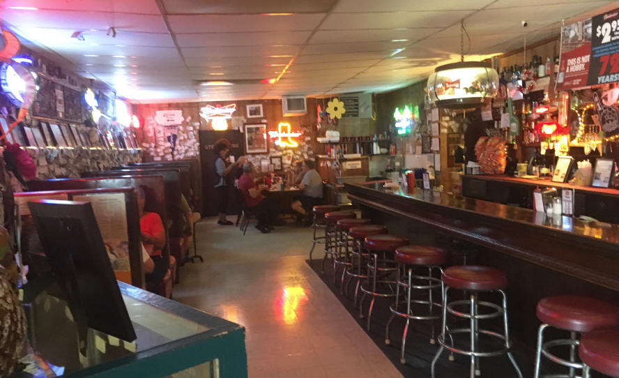
Unfortunately, it was about 8 am and the Owl Bar & Cafe in San Antonio was not open.
|
|
|
The Owl Bar and Cafe is famous for its Green Chile Cheeseburgers.
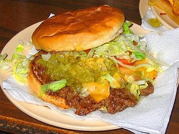
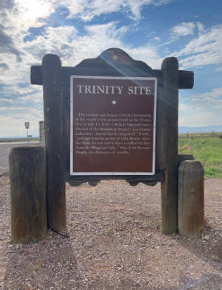
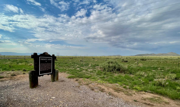
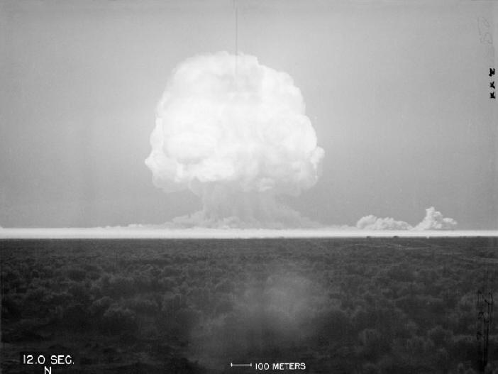
It is also famous for feeding Robert Oppenheimer and the other scientists on the Manhattan Project while they were preparing to detonate of the first atomic bomb at the Trinity Site, just 40 miles from the cafe. The Trinity site is open to visitors twice per year: April 1 & October 1.
|
|
|
An interesting footnote: Conrad Hilton got his start in San Antonio, NM. He was born there in 1887 and worked during his youth in his father's mercantile store and hotel. He eventually left San Antonio and moved to Texas, where he started operating hotels in various Texas cities, eventually creating the Hilton Hotel.
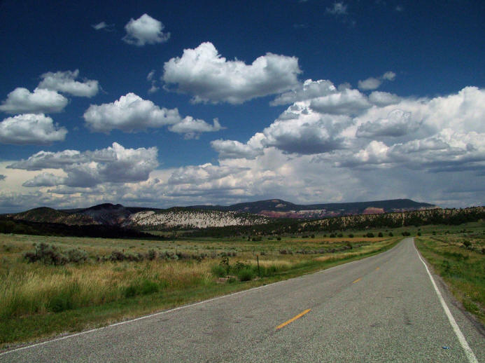
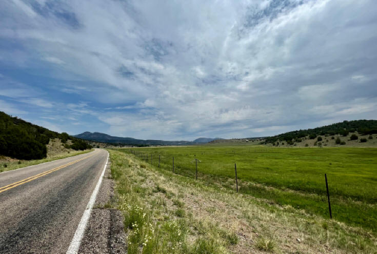
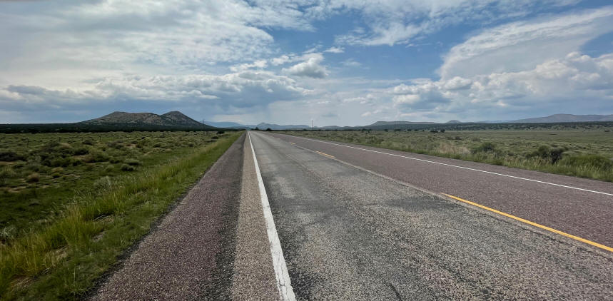
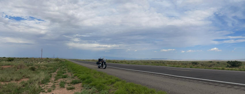
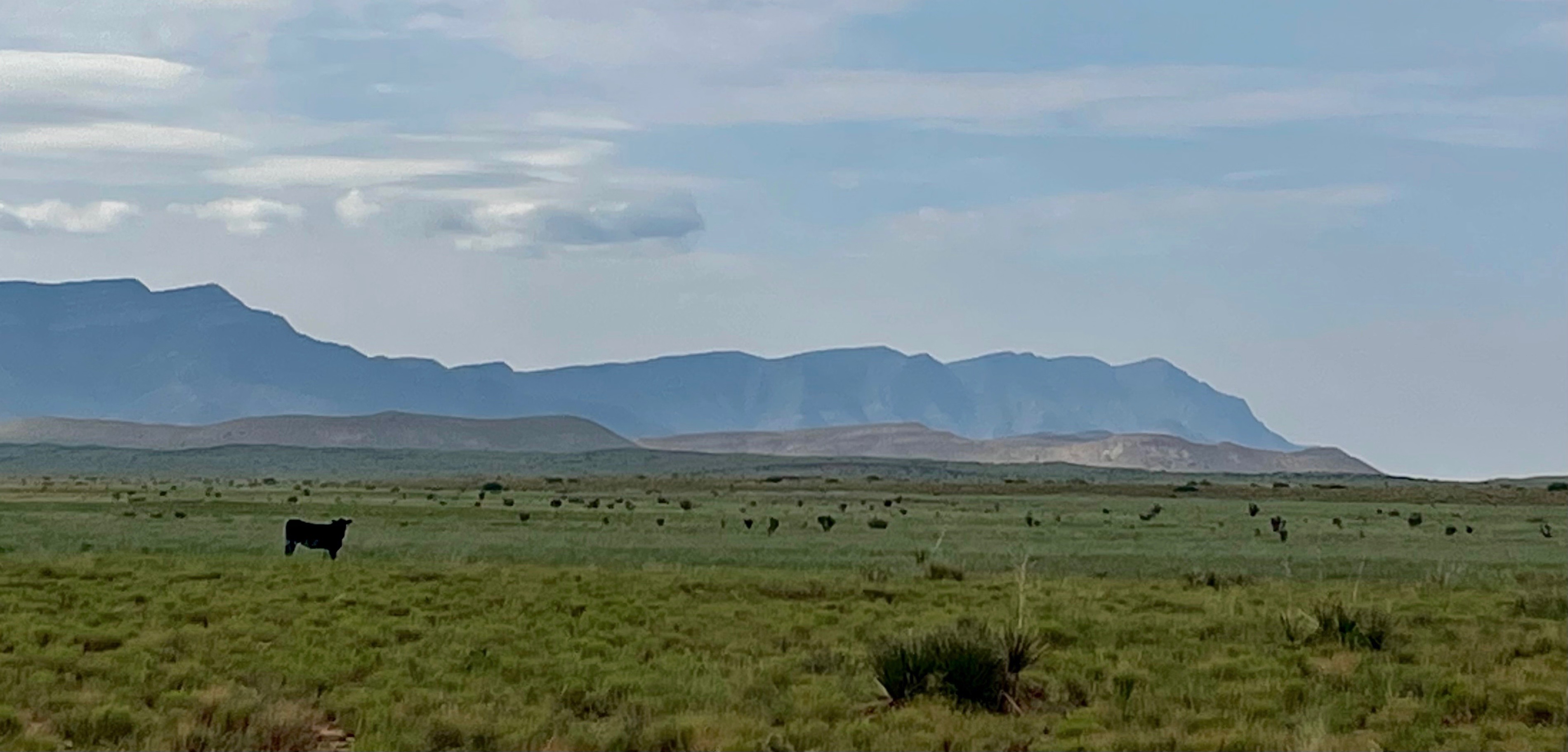
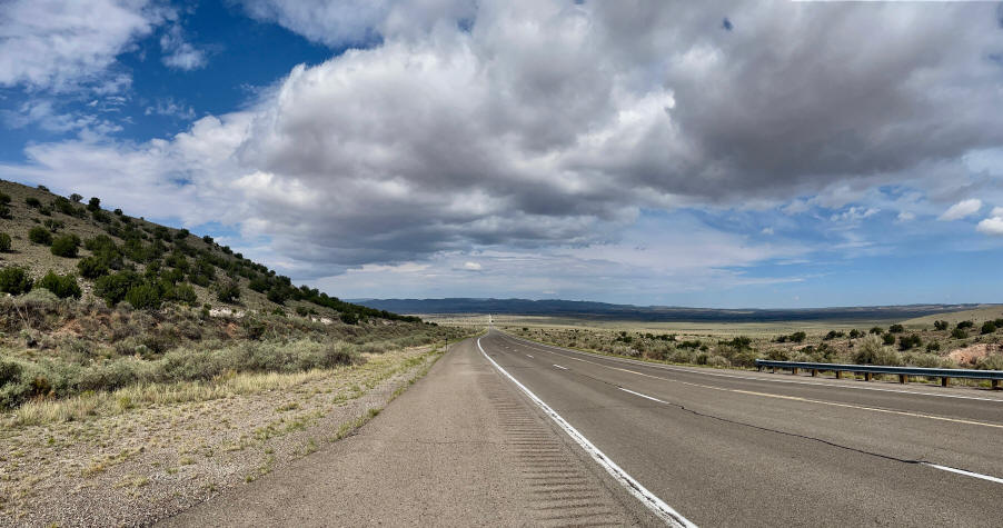
The road from San Antonio to Carrizozo was another great ride --wide-open country with incredible vistas!
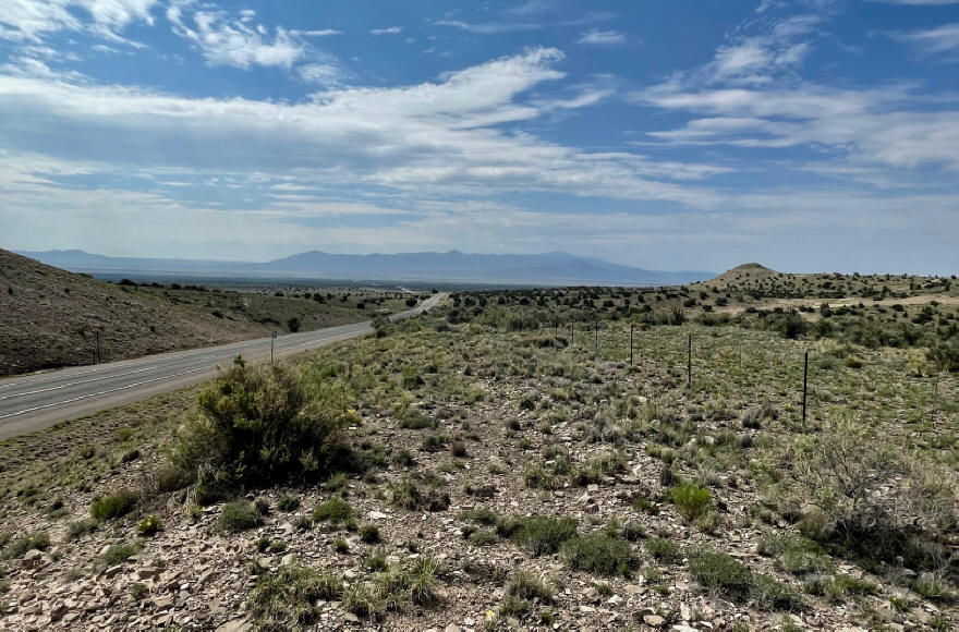
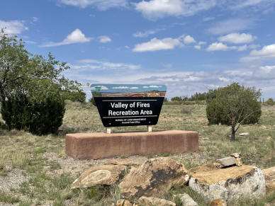
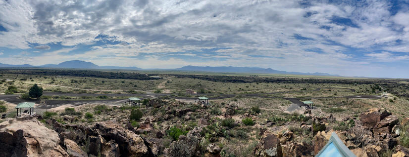
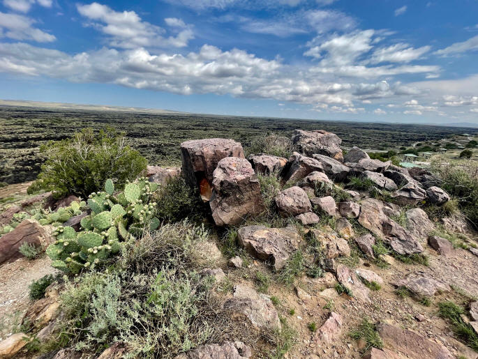
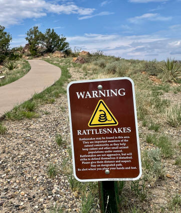
About 5 miles before I reached Carrizozo I passed the BLM's Valley of Fires Recreation Area, a great place to camp (when it's cooler) with trails through the nearby lava formations and a spectacular view of the nighttime sky.
Just be careful where you walk!
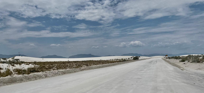
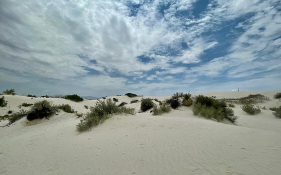
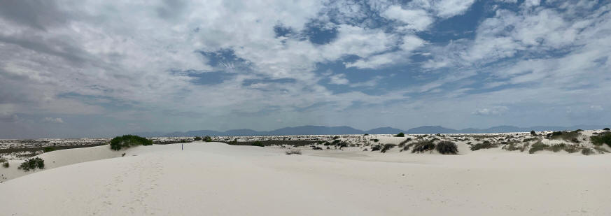
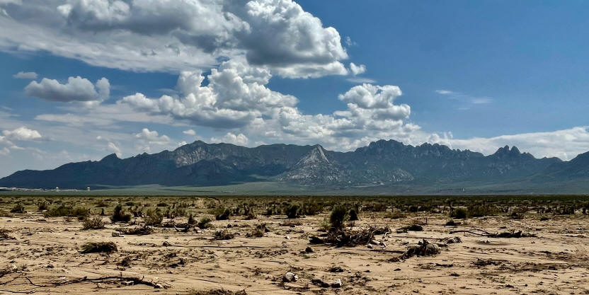
After riding from Carrizozo to Alamogordo (not a particularly scenic part of the trip), I headed across the Tularosa Basin back to Mesilla (about 65 miles). Formerly filled with runoff from the nearby mountains, the Tularosa Basin today is one of the driest basins in New Mexico. It is situated between the Sacramento Mountains on the east and the Organ and San Andres Mountains on the west. The two most prominent attractions in the basin today are the White Sands National Monument and the White Sands Missile Range.
White Sands National Monument
White Sands Missile Range
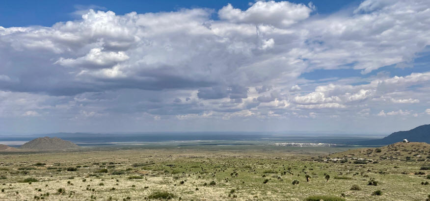
Before riding across the Tularosa Basin, it is a good idea to check for possible road closures. The road is occasionally closed due to missile testing. The local radio stations in Las Cruces and Alamogordo broadcast road closure conditions each day, similar to the traffic reports broadcast by urban news sources. When they are closed, the closure lasts for about an hour. Locals occasionally go out to watch the missile launches.
Finally, I just need to cross the Organ Mountains and in a few miles I'll be home!
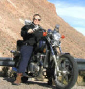
The reward . . .

Cooling off with a beer and my buddy
(and my wife, who is taking the photo).
* * * * *
Related Web Pages:
(2005)
|
New Mexico, Colorado, Utah & Arizona (2009)
|
Monticello Creek Motorcycle Ride (2009) |
Motorcycling in the American West
(2018)
* * * * *